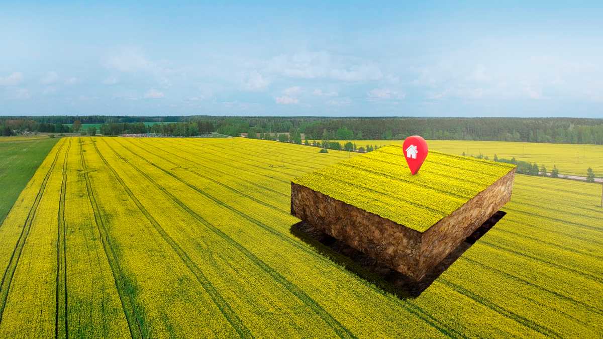
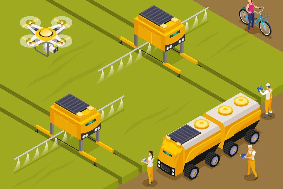
Geographic Information System (GIS) plays a crucial role in the agricultural sector by integrating spatial data and technology to improve decision-making processes in farming and land management. The application of GIS in agriculture allows for the collection, analysis, and interpretation of geographical information, enabling farmers and agricultural professionals to make well-informed choices based on the spatial relationships between different factors. This technology facilitates the mapping of field boundaries, soil types, crop yield variability, and other significant parameters. Through the overlaying and analysis of these layers of information, GIS assists in optimizing resource allocation, enhancing crop management practices, and ultimately improving overall farm efficiency. From precision farming to land-use planning, GIS serves as a vital tool in modern agriculture, contributing to the adoption of sustainable practices and maximizing crop productivity while minimizing the environmental impact. In this article, we will briefly discuss the applications of GIS in agriculture.
Table of Contents
Applications of GIS in Agriculture
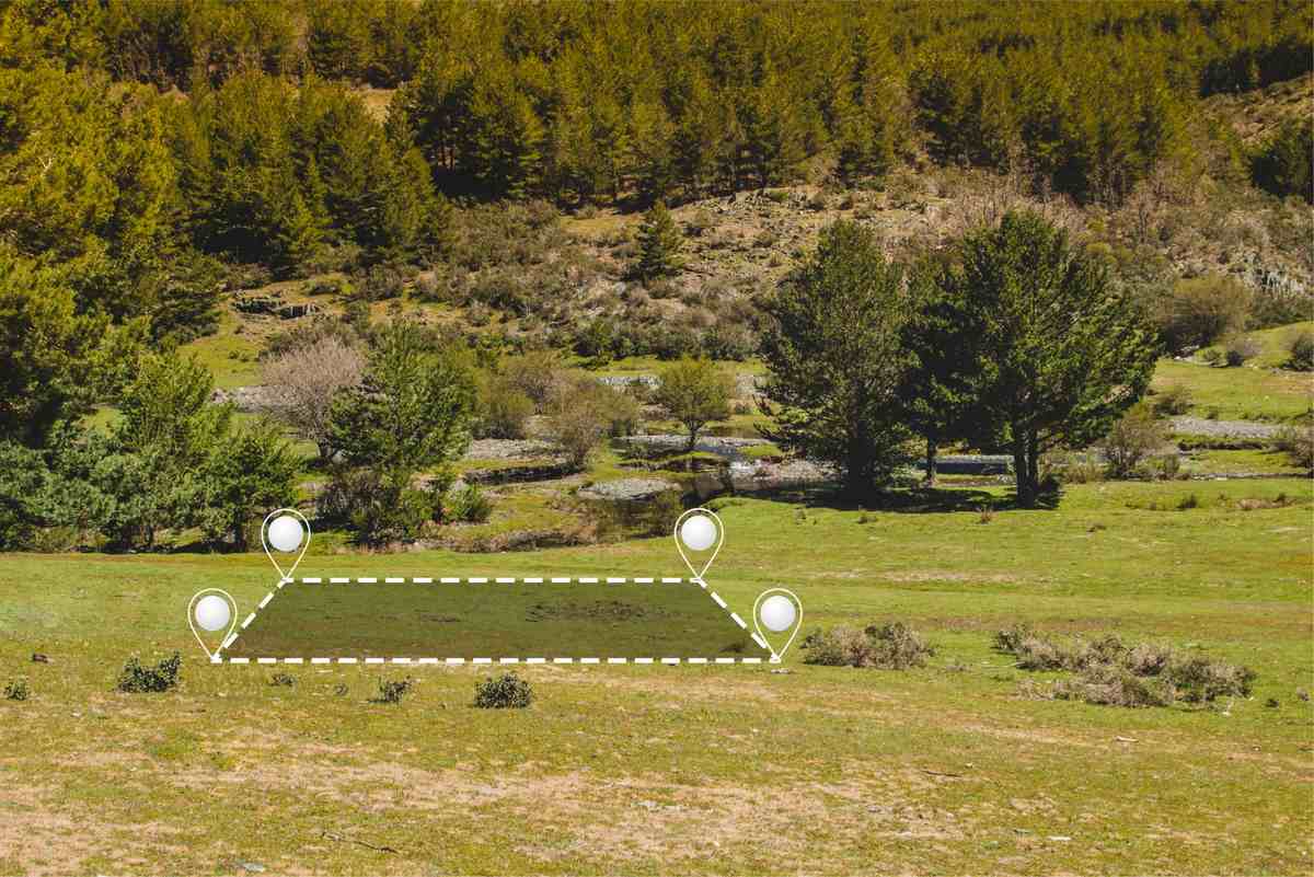
1. Precision Farming
GIS plays a crucial role in precision agriculture as it enables farmers to analyze and interpret the spatial variability within their fields. By utilizing GIS, farmers can implement precision planting techniques, apply fertilizers at variable rates, and target pesticide application based on spatial data. This integration of GIS technology optimizes the utilization of resources and ultimately enhances crop yields.
2. Crop Monitoring and Management
GIS in agriculture plays a crucial role in monitoring and managing crops through the provision of up-to-date spatial data on crop health, their growth patterns, and the factors causing stress. This encompasses the utilization of satellite imagery and drones to evaluate the conditions of fields, identify diseases, and enhance irrigation practices.
3. Soil Analysis and Management
GIS assists in the analysis of soil by effectively mapping out various soil types, nutrient levels, and moisture content across agricultural fields. This valuable information serves as a guiding tool for farmers, enabling them to make well-informed decisions regarding soil amendments, drainage systems, and irrigation strategies. Ultimately, these informed decisions contribute significantly to the overall improvement and maintenance of optimal soil health.
4. Land Use Planning
The application of GIS in agriculture is instrumental in the field of land-use planning as it enables the mapping and analysis of the spatial distribution of crops, identification of appropriate areas for cultivation, and evaluation of the consequences of land-use alterations. These capabilities greatly contribute to the promotion of sustainable land management and conservation practices.
5. Yield Monitoring
GIS technology allows farmers to effectively track and analyze crop yields throughout their fields, offering significant insights into patterns and changes. By utilizing GIS-generated yield maps, farmers can easily identify areas that exhibit high or low performance, enabling them to make informed decisions and plan for the future. This valuable information aids in optimizing agricultural practices and enhancing overall productivity.
6. Water Resource Management
GIS plays a crucial role in the efficient management of water resources. It facilitates the mapping of watersheds, analysis of water availability, and optimization of irrigation practices. This ensures the judicious use of water resources and helps in mitigating the adverse effects of drought or water scarcity.
7. Climate Change Adaptation
The application of GIS technology in agriculture plays a crucial role in assisting farmers in adapting to the challenges posed by climate change. By effectively mapping climate patterns, accurately predicting weather events, and evaluating the influence of climate-related factors on crops, GIS provides valuable information that aids in the development of adaptive strategies. This information supports adaptive strategies to minimize risks and enhance resilience.
8. Disease and Pest Monitoring
GIS assists in the surveillance of disease and pest outbreaks through the mapping of their occurrence and identification of susceptible regions. This enables the implementation of precise pest management strategies, thereby minimizing the necessity for extensive use of chemical treatments.
9. Policy Planning and Decision Support
Policymakers use Geographic Information Systems (GIS) to analyze spatial data to make well-informed decisions. This includes formulating agricultural policies, determining land-use regulations, and evaluating the impact of agricultural practices on the environment.
10. Research and Development
The application of GIS in agriculture plays a crucial role in facilitating agricultural research by providing a spatial framework to examine the interconnections among different factors like climate, soil, and crop productivity. This assists in the advancement of innovative farming methods and technologies.
Conclusion
In conclusion, the integration of Geographic Information Systems (GIS) in agriculture has the potential to bring about a significant transformation in the industry. The benefits of utilizing GIS in agriculture, such as improved spatial analysis, precision farming, and better decision-making, contribute to higher productivity, efficient resource utilization, and sustainable practices. By leveraging GIS, farmers can make well-informed choices based on detailed spatial data, leading to optimized resource management and reduced environmental impact. However, it is important to acknowledge the drawbacks, which include the initial costs of implementing the technology, the requirement for specialized knowledge, and potential limitations in data resolution. Overcoming these challenges necessitates ongoing advancements in technology, accessibility, and education. As GIS continues to advance, its role in digital agriculture is poised to expand, offering a pathway toward a more efficient, sustainable, and resilient future for the farming industry.

